SWALIM Soo Saarey Warbixin Qoraal ah oo ku saabsan Xaaladda Cimilada Soomaaliya (April – Juun 2026)
Maamulka SWALIM ayaa soo saaray warbixin qoraal ah oo ku saabsan howlaha cimilada ee Soomaaliya, kaas oo ku saabsan xaaladda barashada, biyaha iyo dhulka, iyadoo la xaqiijiyay inay sameysay map-ka dhulka ee Juba-Shabelle iyo baaritaanka dhulka Puntland.
Barashada Cimilada iyo Xaaladda Biyaha
SWALIM ayaa sameysay barashada cimilada ee Gu 2026, iyadoo la xaqiijiyay inay raacday xaaladda barashada, biyaha iyo dhulka, iyadoo la xaqiijiyay inay sameysay map-ka dhulka ee Juba-Shabelle iyo baaritaanka dhulka Puntland.
Warbixinta waxaa lagu sheegay in SWALIM ay raacday xaaladda barashada, biyaha iyo dhulka, iyadoo la xaqiijiyay inay sameysay map-ka dhulka ee Juba-Shabelle iyo baaritaanka dhulka Puntland.
Map-ka Dhulka ee Juba-Shabelle
SWALIM ayaa sameysay map-ka dhulka ee Juba-Shabelle, iyadoo la xaqiijiyay inay raacday xaaladda barashada, biyaha iyo dhulka, iyadoo la xaqiijiyay inay sameysay map-ka dhulka ee Juba-Shabelle iyo baaritaanka dhulka Puntland.
Warbixinta waxaa lagu sheegay in SWALIM ay raacday xaaladda barashada, biyaha iyo dhulka, iyadoo la xaqiijiyay inay sameysay map-ka dhulka ee Juba-Shabelle iyo baaritaanka dhulka Puntland.
Baaritaanka Dhulka Puntland
SWALIM ayaa sameysay baaritaanka dhulka Puntland, iyadoo la xaqiijiyay inay raacday xaaladda barashada, biyaha iyo dhulka, iyadoo la xaqiijiyay inay sameysay map-ka dhulka ee Juba-Shabelle iyo baaritaanka dhulka Puntland.
Warbixinta waxaa lagu sheegay in SWALIM ay raacday xaaladda barashada, biyaha iyo dhulka, iyadoo la xaqiijiyay inay sameysay map-ka dhulka ee Juba-Shabelle iyo baaritaanka dhulka Puntland.
Somalia's State Water and Land Information Management (SWALIM) has published its quarterly newsletter covering the April to June 2026 period, detailing advances in climate monitoring, riverine mapping and invasive-species tracking across the country.
Gu Season Monitoring and Flood Preparedness
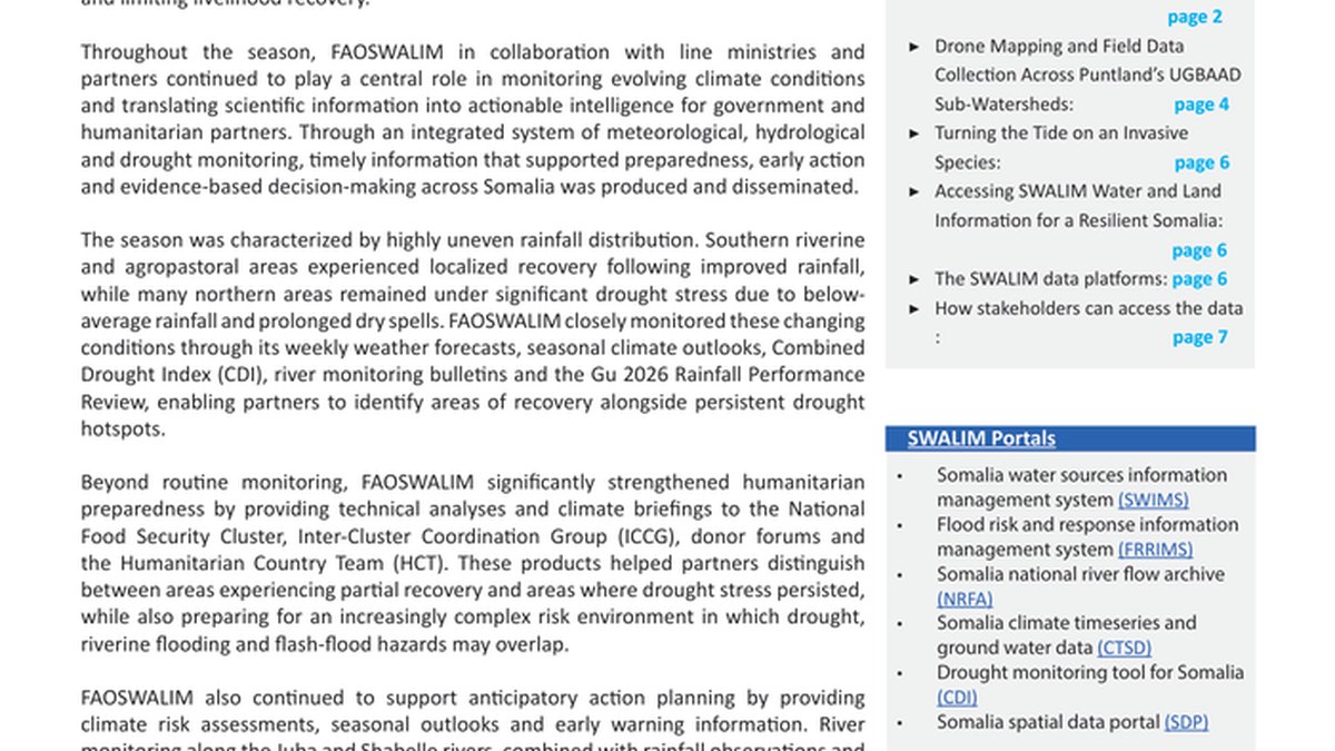
SWALIM carried out Gu 2026 climate monitoring and preparedness, tracking uneven rainfall, drought conditions and emerging flood risks. The agency's observations aim to guide early warning systems and inform government and humanitarian response planning ahead of the peak rainy season.
The report notes that rainfall patterns have been irregular across many regions, creating pockets of both water scarcity and localized flooding. SWALIM's data is intended to help authorities allocate resources where they are needed most during the critical Gu period.
Riverine Mapping and Watershed Assessment
Mapping Somalia's breadbasket, with the 2026 Riverine Area Land Cover Map covering 10.4 million hectares across the Juba-Shabelle riverine corridor. This extensive mapping effort provides a detailed picture of land use and vegetation changes in the country's most agriculturally productive zones.
Drone-based watershed mapping in Puntland, with six UGBAAD sub-watersheds assessed using high-resolution drone imagery, satellite data and field surveys. The technology-driven approach allows for more precise identification of erosion, sedimentation and land degradation in key river basins.
Invasive Species Tracking and Open Data Expansion
Nationwide Prosopis field data collection completed across ten priority districts, strengthening the evidence base for invasive species management. The Prosopis tree, an invasive species that competes with native vegetation and reduces grazing land, is now being mapped systematically to support targeted removal and land restoration efforts.
Expanding access to water, land and climate information through SWALIM's open-data platforms, supporting government institutions, humanitarian partners, researchers and the wider public. The agency continues to make its datasets freely available, enabling broader collaboration and more informed decision-making across sectors.